Cart 0 Product Products (empty)
No products
To be determined Shipping
0,00 € Tax
0,00 € Total
Prices are tax included
Product successfully added to your shopping cart
Quantity
Total
There are 0 items in your cart. There is 1 item in your cart.
Total products (tax incl.)
Total shipping (tax incl.) To be determined
Tax 0,00 €
Total (tax incl.)
Last blog articles
Search on blog
Forum
- Rafraichissement Algrange 2021 [img]https://club.mosailes.com/modules/prestafor...club-mosailes/1321-entretien-de-sites.html[/url]
- Author: Panzenlair, 05/3/2021 06:13:57
- Dates des chasses 2020-2021 Bonjour,Pour vous éviter de vous retrouver u...as représentée, vous pouvez en informer le club.
- Author: Panzenlair, 10/1/2020 08:09:21
- Dates des chasses 2019-2020 Bonjour,Pour vous éviter de vous retrouver u...as représentée, vous pouvez en informer le club.
- Author: Panzenlair, 10/1/2019 04:27:11
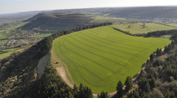
Algrange
| Place name | The Witten | 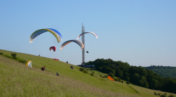 | |
| Position GPS | Lat 49.359331° Long 6.045014° | ||
| Orientation mini | Ouest | ||
| Orientation Maxi | Nord-Ouest | ||
| Difference in altitude | 80m | ||
| Pilot level | Orange to Red (Speed bar highly recommended) | ||
| Manager: | Club MosAiles | ||
| For who: | Paragliding: yes / Paramotor: no | Download regulation here... | Download map here... |
| Access Takeoff | In Algrange, take rue du cimetière and then left, rue du Witten, go straight on in the rue de la cerisaie and then go up the road that goes left. 300m further away is parking for your car | ||
| Dimensions | Dim SO-NE: 800m | ||
| Comments | This platform has been the subject of a convention passed with the concervatory of the sites which authorizes the access only to pilots insured and invited by the club MosAiles. | ||

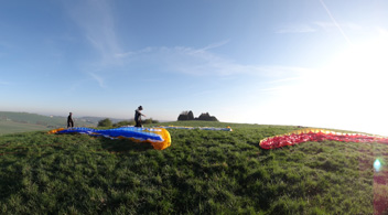
 Entretien du décollage d'Algrange 2021
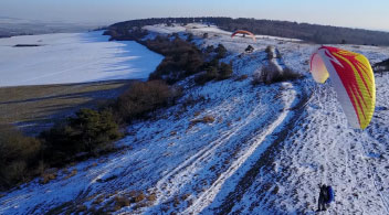
  The Algrange paragliding spot in winter
  Pilot's license night canceled